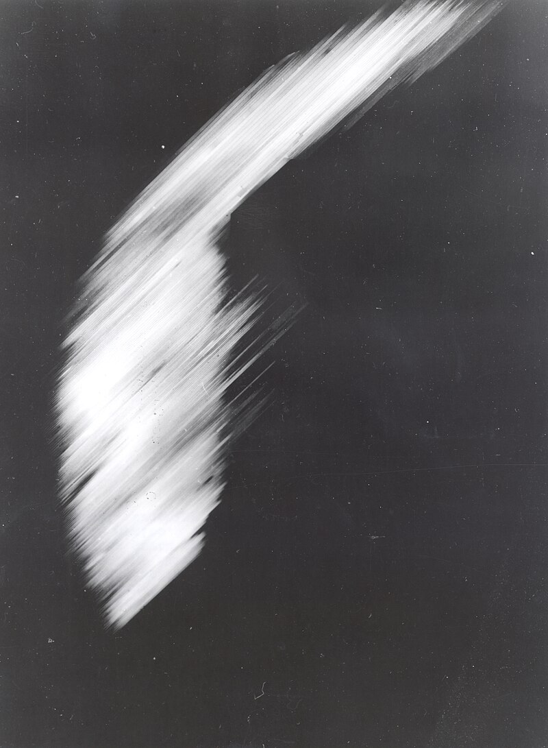
First photograph of Earth from orbit
Cape Canaveral, Florida, United States
Space Exploration
Photography
Earth Science
3 min read
Updated By: History Editorial Network (HEN)
Published:
Updated:
On 07/08/1959, the United States achieved a milestone in space exploration when the Explorer 6 satellite captured the first-ever photograph of Earth from orbit. Launched by NASA on 07/08/1959 from Cape Canaveral, Florida, Explorer 6 was part of the early Explorer program designed to study Earth’s radiation environment and test new satellite technologies. The spacecraft carried a scanning device rather than a traditional camera, which was used to produce crude images of the planet’s cloud cover.
Shortly after reaching orbit, Explorer 6 transmitted a grainy image showing a sunlit portion of Earth’s surface and cloud formations over the Pacific Ocean. The image was created by scanning light intensity line by line and converting it into radio signals sent back to Earth. Although the resolution was extremely limited compared to modern standards, the photograph marked the first time humans were able to see their planet from space through an orbiting satellite.
In addition to imaging, Explorer 6 collected data on cosmic rays, micrometeorites, and Earth’s radiation belts. The satellite also helped test solar cells, which were used to power its instruments, demonstrating their viability for future space missions. The successful transmission of Earth’s image provided early validation of satellite-based observation, paving the way for weather satellites and Earth-monitoring systems in the decades that followed.
#mooflife
#MomentOfLife
#EarthFromOrbit
#Explorer6
#SpaceExploration
#SatelliteTechnology
#EarthObservation
Primary Reference
Explorer 6

Explore the Life Moments of
 AI Twin