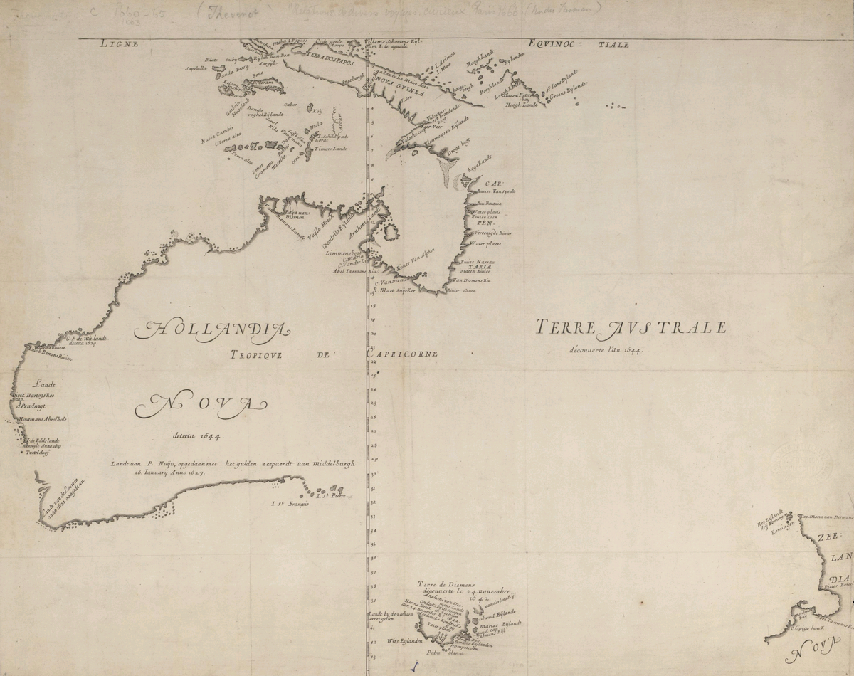
Explorer John Daniel mapped western coast and Rottnest Island.
Australia
Exploration
Mapping
3 min read
Updated By: History Editorial Network (HEN)
Published:
John Daniel, an English navigator, embarked on a significant expedition to chart the unexplored west coast of Australia, with a particular focus on Rottnest Island. This expedition was part of a broader effort by European powers to map and claim territories during the Age of Discovery.
John Daniel's meticulous mapping of the coastline provided valuable information for future explorers and traders navigating the waters of the region. His charts and observations contributed to the growing body of knowledge about the geography of Australia, enabling better maritime routes and trade opportunities.
The inclusion of Rottnest Island in John Daniel's charts shed light on the island's existence and geographical features, marking it as a point of interest for future explorers and settlers. This newfound knowledge of the island's location and characteristics would later influence the course of exploration and colonization in the region.
Overall, John Daniel's expedition to chart the west coast of Australia, including Rottnest Island, played a crucial role in expanding European understanding of the continent's coastline and geography. His efforts contributed to the mapping of new territories and the eventual colonization of Australia by European powers, shaping the history and development of the continent.
#JohnDaniel #Exploration #Mapping #Australia #RottnestIsland #Navigation #EuropeanExplorers

Explore the Life Moments of