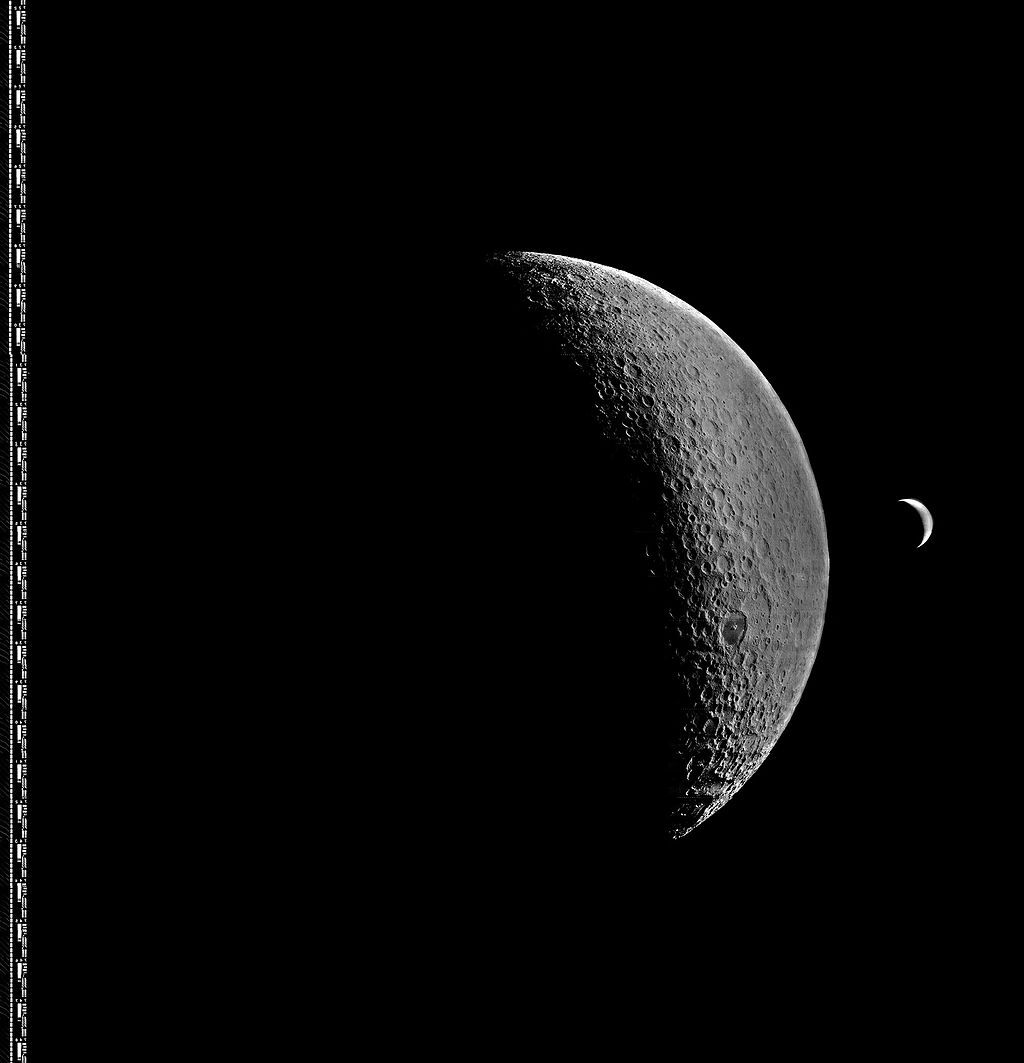
First photos of the Lunar south pole
Lunar orbit; Moon’s south polar region
Space Exploration
Lunar Missions
Photography
3 min read
Updated By: History Editorial Network (HEN)
Published:
Updated:
On 15/07/1967, early lunar exploration efforts produced some of the first photographs of the Moon’s south polar region, an area that had remained largely unobserved due to the limitations of Earth-based telescopes. These images were obtained during the United States’ Lunar Orbiter program, a series of robotic missions developed by NASA to map the Moon’s surface in preparation for future crewed landings under the Apollo program.
The Lunar Orbiter spacecraft, equipped with high-resolution cameras, operated in elliptical lunar orbits that allowed them to capture detailed images of both equatorial and polar regions. By mid-1967, missions such as Lunar Orbiter 4, launched on 04/05/1967, had expanded coverage to include high-latitude areas near the Moon’s south pole. The photographs returned around 15/07/1967 provided improved visibility of cratered terrain, shadowed regions, and surface features that were not visible from Earth due to the Moon’s orientation.
These images contributed to the creation of more complete lunar maps and helped scientists better understand the Moon’s topography, particularly in regions with extreme lighting conditions. Although the primary focus of the Lunar Orbiter program was to identify safe landing sites for Apollo missions, the data collected also laid the groundwork for later scientific interest in the lunar poles, including the study of permanently shadowed craters.
#mooflife
#MomentOfLife
#LunarExploration
#Nasa
#LunarOrbiter4
#MoonSouthPole
#SpacePhotography
Primary Reference
Lunar Orbiter 4

Explore the Life Moments of
 AI Twin