Flores Island Earthquake 2026: Indonesia Faces Its Deadliest Seismic Disaster Since 2022
Flores Island and East Nusa Tenggara Province, Indonesia
Natural disaster
6 min read
Updated By: History Editorial Network (HEN)
Published:
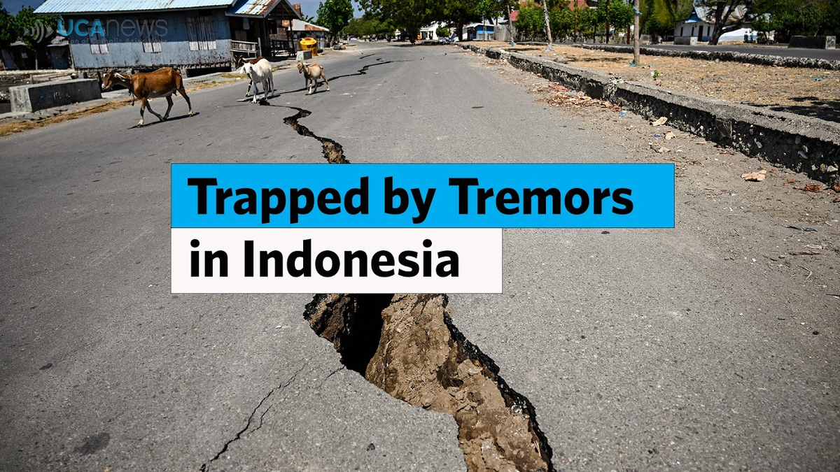
On 15/08/2026, a powerful magnitude 7.7 earthquake struck off the coast of Flores Island in eastern Indonesia, triggering one of the country's deadliest natural disasters in recent years. The earthquake occurred at a shallow depth of approximately 10 kilometers on 14/08/2026 UTC, increasing the intensity of ground shaking across East Nusa Tenggara province and causing extensive destruction in several communities.
By 19/08/2026, authorities had confirmed at least 70 deaths, while nearly 1,200 people had been reported injured. Thousands of residents were displaced as homes, schools, healthcare facilities, and government buildings sustained heavy damage. Reports indicated that between 5,000 and 6,000 people were living in temporary evacuation centers while emergency teams continued search, rescue, and relief operations.
The earthquake generated a prolonged period of seismic instability. More than 2,100 aftershocks were recorded in the days following the initial event, with the strongest reaching magnitude 6.2. The continuing tremors complicated rescue efforts and increased concerns among residents already coping with damaged infrastructure and unsafe buildings.
Physical destruction extended across multiple sectors. More than 1,300 houses were affected, while 93 schools, 36 healthcare facilities, and 38 government offices suffered damage. Landslides triggered by the earthquake further intensified the crisis by disrupting major transportation routes, including sections of the Trans-Flores Highway. Several communities near the epicentral region, including parts of Nagekeo Regency, became difficult to access because of blocked roads and damaged communication networks.
Indonesia's National Disaster Management Agency, known as BNPB, declared a 14 day emergency response period to accelerate the delivery of food, medical supplies, temporary shelter, and other humanitarian assistance. According to situation updates published through ReliefWeb, the response remained nationally led and financed, with Indonesian agencies coordinating operations across the affected areas.
The disaster also highlighted the geographical vulnerability of Indonesia, which lies along the Pacific Ring of Fire. The country experiences frequent seismic activity because of the interaction between several major tectonic plates. Flores Island and the surrounding region have experienced destructive earthquakes throughout their recorded history, making disaster preparedness a continuing national priority.
Why This Moment Matters:
The 2026 Flores earthquake demonstrated how secondary hazards such as landslides, infrastructure failure, and communication disruptions can intensify the human consequences of a major seismic event. The disaster also underscored the logistical challenges of delivering aid across Indonesia's island geography.
#Indonesia
#FloresEarthquake
#Earthquake2026
#NaturalDisaster
#EastNusaTenggara
#BNPB
#HumanitarianCrisis

Explore the Life Moments of
 AI Twin